App West Frisian Omringdijk
Discover the history of the monumental West Frisian Omringdijk with our app! The dike is eight hundred years old, 126 kilometre , and has been our support and refuge against the raging waters for centuries. This app brings the traces of the battle against the water to life at 25 locations with stories, photos, and maps. From the Lely pumping station to the Kolk van Dussen, from the Zijpe to the Zuiderdijk. Use the app on the dike itself or at home in your armchair.
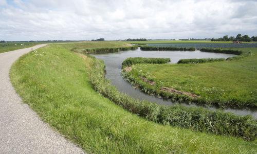
The West Frisian Omringdijk is the historic dike (provincial monument) that runs around West Friesland. For centuries, this region was surrounded by water on all sides. The greatest danger came from the Zuiderzee, now known as the IJsselmeer. A large part of our management area was also under water: the Beemster, Schermer, Zijpe, Wieringermeer, and even the Heerhugowaard.
The West Frisians and their water boards have the difficult task of keeping their land dry. The Omringdijk is a living monument to this struggle.
Take a look at these popular walking routes from the Streekpad Westfriese Omringdijk, mapped out by Wandelnet.