Measuring the dike with a drone Dijkweg and Koopmanspolder
What's going to happen?
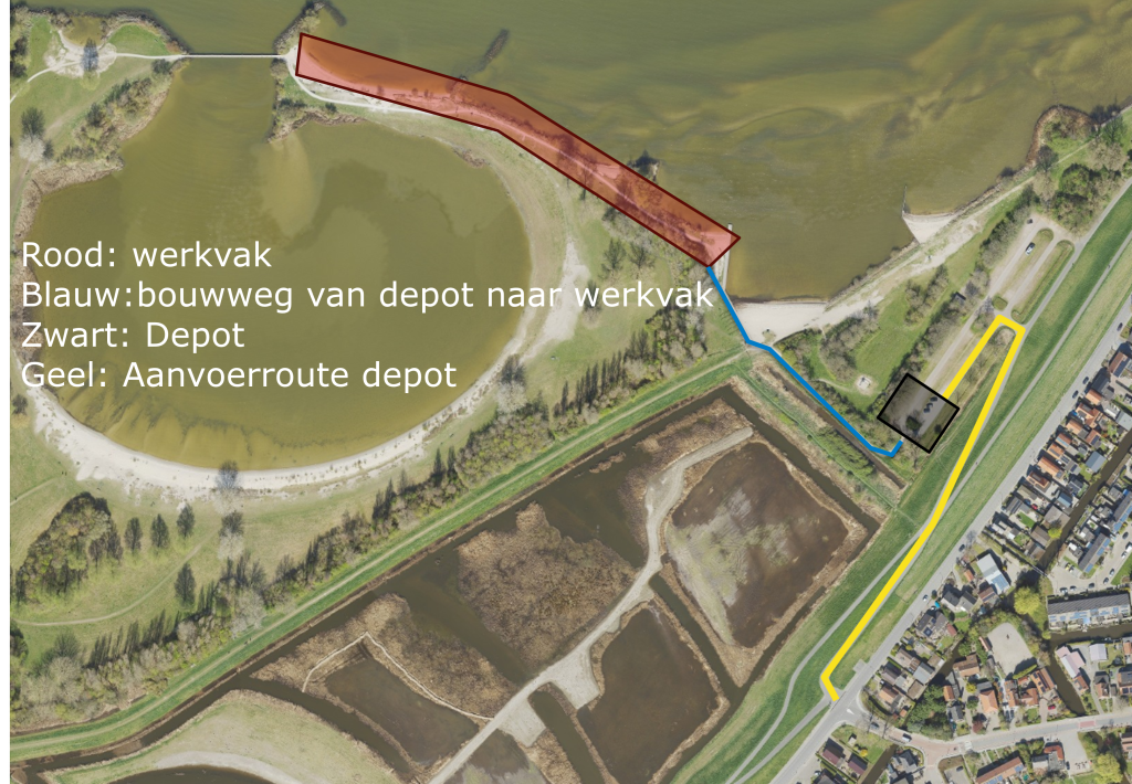
On Tuesday, April 21, we will be taking aerial photos with a drone above Dijkweg near Andijk and near the Koopmanspolder. We are doing this in connection with the work carried out by Rijkswaterstaat at the De Vooroever recreational area in Andijk. As part of this, heavy riprap was transported over our dike to reinforce the foreshore and thus protect the area from high water during a storm. That transport went over the Dijkweg and through the Koopmanspolder. We’re using the drones to check whether the dike sustained any damage from the transport.
In January, the drones also flew over the dike for a baseline survey. Using the drones, we can take advanced before-and-after photos for an accurate comparison. We can then compare the photos we are taking now with the photos taken in January prior to the work. The dike protects West Friesland from flooding, so we are doing this for your safety. This also applies to the placement of riprap by Rijkswaterstaat.
Where is the project taking place?
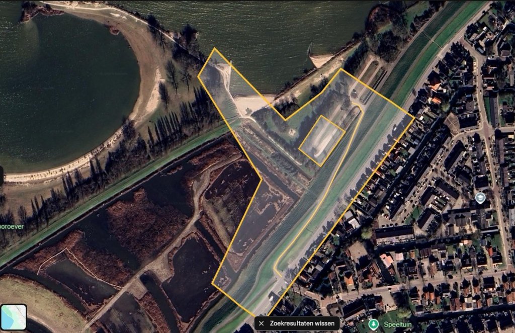
The aerial photographs will be taken above Dijkweg and Koopmanspolder.
What do you notice?
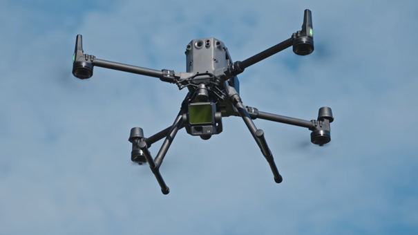
During the work, the drone will fly above Dijkweg and Koopmanspolder. Below is an example of what such a drone might look like.
The aerial photographs are mainly taken while flying over the dike. The drone may fly over built-up areas for a brief moment.
We are aware that in some cases this may affect privacy, for example when individuals are recognizable in images. To limit this risk, we have apolicy in placefor the use of drones.
When will the project take place?
The work will be carried out on Tuesday, April 21. If weather conditions are not suitable for a drone flight, the flight will be rescheduled for a later date.
Who do we work with?
The work is carried out by our own employees.
Want to know more?
For more information about this project, please contact us via ourcontact formor by phone at 072 – 582 8282.