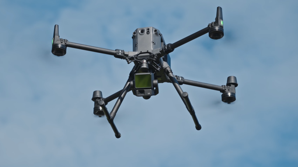
Use of drones
As a water authority, we use drones to carry out statutory tasks. For example, for the inspection of dikes, pumping stations, and dunes, and for enforcement and supervision . We use drones equipped with various sensors, including cameras and laser scanners (LiDAR). We are aware that in some cases this may affect privacy, for example when individuals are recognizable in the images. To limit this risk, we apply the following policy for the use of drones.
Applications
We use drones as an aid in performing our statutory duties or when necessary to perform a task in the public interest. The basis for the use of drones can be found in Article 6, paragraph 1 of the General data protection Regulation data protection GDPR). This concerns certain supervisory tasks that would be difficult or (almost) impossible to perform without drones, for example because a location is difficult to reach.
The drones enable us to take measurements in places where this would otherwise not be possible. In addition, we can assess the situation better and more accurately, and gain insight into the situation more quickly.
Our applications:
- Inspection: measuring and mapping dunes, dikes, embankments, waterways, and pumping stations
- Exotic species control: mapping exotic flora and fauna
- Enforcement: supervision agricultural activities, among other things
- Communication: showcasing projects for our website and social media
Purposes of processing
We have a strict policy for creating and storing images. Images are created exclusively for surveillance purposes and other specific purposes. The retention period for these images is limited to the time strictly necessary to fulfil these tasks and purposes.
What personal data does HHNK process?
In most cases, individuals are not recognizable in the images. Photos or videos in which this is the case are removed as much as possible, or the individuals are made unrecognizable.
In exceptional situations, such as when recording criminal offenses, personal data may be processed. This always takes place within the legal framework and in compliance with privacy legislation.
Possible personal data that may be processed includes:
- Image data: photos and videos in which individuals may be recognizable.
- License plate data: when identifying vehicles.
- Location data: the place where the drone footage was taken.
Project MANABAS: a great example of the use of drones
The North Sea region is facing serious consequences of climate change, such as sea level rise, heavier storm surges, and heat stress on sandy coasts. These consequences have a detrimental effect on coastal regions and also on our dunes: the primary flood defenses managed by HHNK. These changes require adjustments in management to protect the coast and ensure a sustainable future.
To obtain and maintain a clear picture of our dunes, we regularly use our drones to create 3D models of specific sections of the dune area. For example, immediately before and after a storm. We do this near Heemskerk, Bergen aan Zee, Hargen aan Zee, and on Texel, among other places. See the MANABAS COAST page.