Interactive viewer Resilient Coast
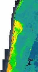
The new calculation methods that provide HHNK with insight into future water safety have resulted in an interactive viewer that can be used by anyone living on the coast. Entrepreneurs, nature conservationists, and civil servants at municipalities, RWS, and the province of North Holland, as well as scientists, can use it to gain insight.
Interactive viewer Resilient Coast
Use the manual for optimal use of the interactive viewer.