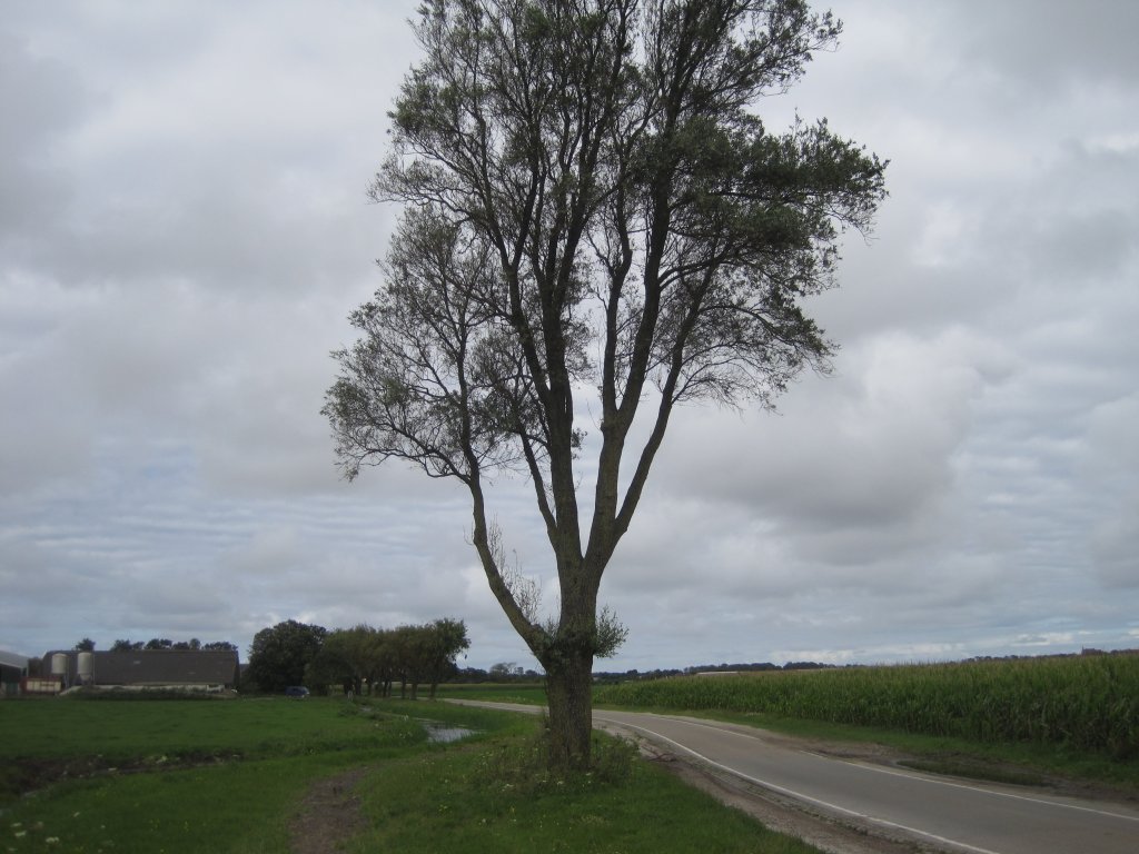
Sand dike Limmen
It may not be obvious, but the Zanddijk, a road between Egmond-Binnen and Limmen, is one of the oldest dikes in North Holland. The dike was constructed before 1100, but it proved unsuccessful and led to a fierce conflict between the Abbey of Egmond and the residents of Castricum.
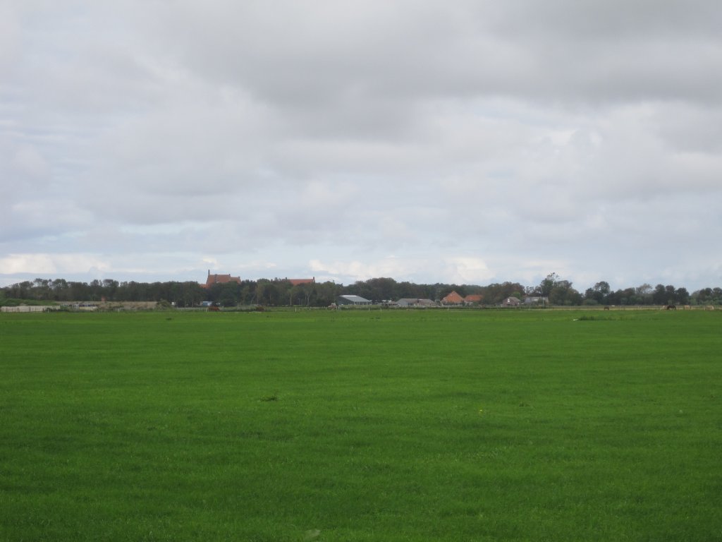
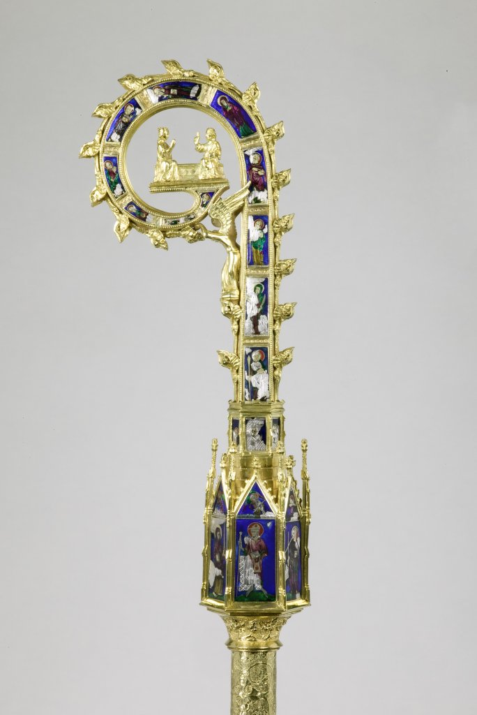
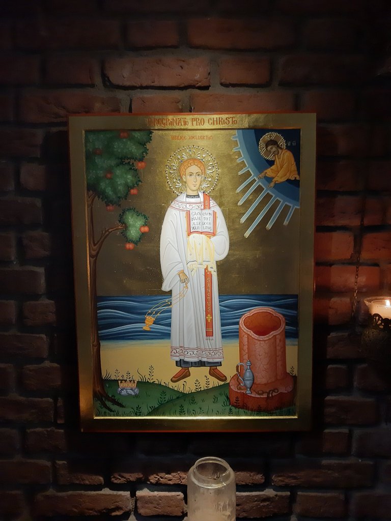
Founded around 950 by the Count of Holland, Egmond Abbey was one of the most important landowners in the county of Holland until the 16th century. The abbot was therefore a powerful man, who also acted as spiritual leader and advisor to the count. Until around 1200, the counts were buried in Egmond, near the altar with the reliquary of Saint Adalbert: the small chest that contained the saint's bones. He was an 8th-century Anglo-Saxon missionary in the area around Egmond and the most important saint of the abbey.
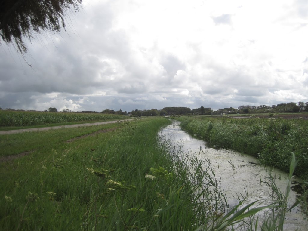
The abbey is located on the edge of a sand ridge; further inland, we encounter the next sand ridge at Limmen and Heiloo. The area in between was lower. In the 11th century, more and more water pushed in from increasingly deeper waterways, particularly from the south, where the IJ—also known as Ie, d'Ie, or Die, an old word for "water"—became an estuary. Added to this was the "dune fall," the water that flowed out of the dunes. At the abbey, the water could go no further and formed a swamp or mudflat.

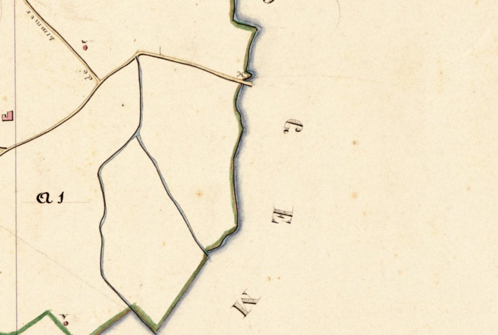
Where the sand ridges came closest to each other, the abbey built a dike to prevent the marsh water from flooding the abbey grounds. The dike was not made of sand, but took its name – the Zanddijk – from the hamlet of Noord-Bakkum, then better known as Arem or Het Zand. The Zanddijk still bends at the Arem dairy farm, where the stream was dammed.
The water could not flow any further north, and with persistent rainfall and southwesterly winds, it pushed against the new dike. As a result, the fields of the Castricum farmers south of the dike flooded. The only way out for the water was to the north, but that would require breaching the dike. The abbey refused to allow this because it would flood the abbey's lands. This soured relations with the people of Castricum.
When, around 1100, the water rose so high that Castricum was in danger of flooding, the people of Castricum took up arms and marched to Arem to breach the dike. The elderly and wise abbot Stephanus († 1105) then sent the monks, led by his confidant Adalardus († 1120), in procession to the river mouth with Adalbert's reliquary. The hope was that the saint would stop the incoming water.
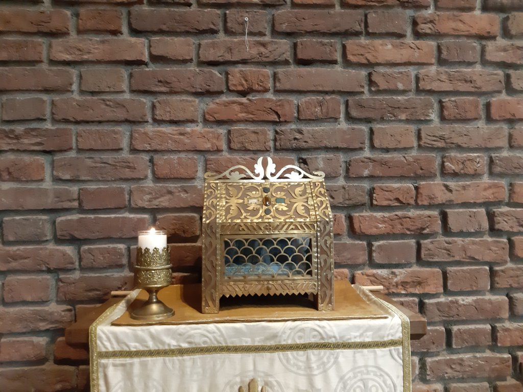
The saint did indeed do so: when Adalardus placed the reliquary in the water, it receded. The Castricummers left. At the time, it was considered a miracle, but now it is thought that so much water had drained away through the hole that no further flow was possible. Adalardus was subsequently elected abbot, but a new clash with the Castricummers would end less well.
The sea also advanced from the north, causing the abbey to face high water on that side of the dike as well. Abbot Adalardus therefore decided to breach the dike himself so that the water would drain away across the meadows of Castricum. He took Adalbert's reliquary with him, but this time the monks were the perpetrators and the saint failed to intervene. The furious inhabitants of Castricum gave the monks a merciless beating. However, Adalbert is said to have punished them afterwards with a difficult life and a miserable death.
The Zanddijk was unsuitable as a flood barrier because it was constructed at the lowest point: flood barriers work better at the highest possible point. The solution to the flooding was the construction of other dikes at the end of the 12th and beginning of the 13th centuries. However, the Zanddijk was useful as a road: in later times, the fishermen of Egmond aan Zee transported their fish over the dike to Limmen, from where it was shipped to Amsterdam.
Extra
If you want to cycle along the Zanddijk, you can do so as part of the Oerijroute.
There are many walking opportunities in the area, but they do not cross the Zanddijk. One route that just touches the Zanddijk is the Orange Route(North Holland Walking Network), which starts at Abdijlaan in Egmond-Binnen. The bend in the road at Arem is close to the route, which also passes the abbey.