South Dike
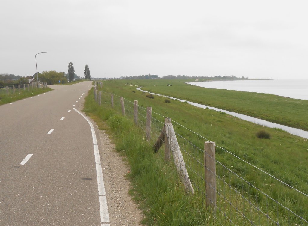
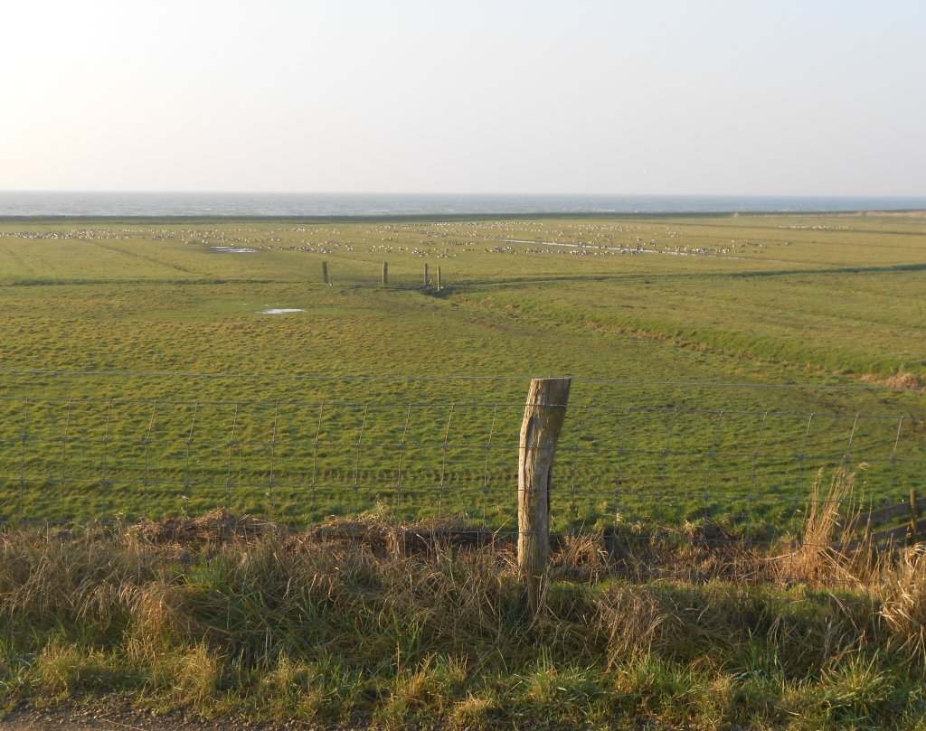
Between Hoorn and Enkhuizen, the Omringdijk is called the Zuiderdijk. It was originally located further south, and in front of it was sloping land to break the waves. Such foreland was indispensable, because people were not yet able to make the dike high and strong. Even now, we still find land in front of the dike here and there, but this is mainly for recreational purposes.
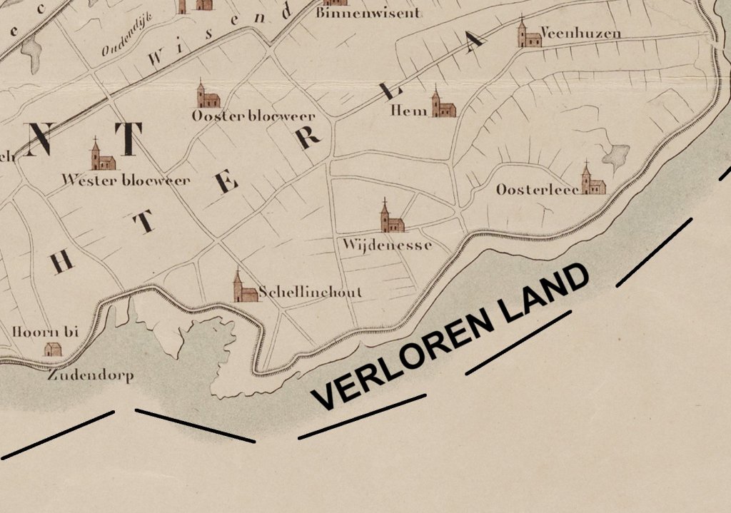
Between 1200 and 1500, the land sank below sea level. The foreshore gradually disappeared into the sea. The dike was not strong enough to break the waves, so over time the West Frisians built a new dike inland to regain sufficient foreland. This happened several times with the Zuiderdijk, and with the villages: when a new dike was built, the settlements that fell outside it were relocated or abandoned. The remains of the old Wijdenes and Oosterleek are therefore still under water.
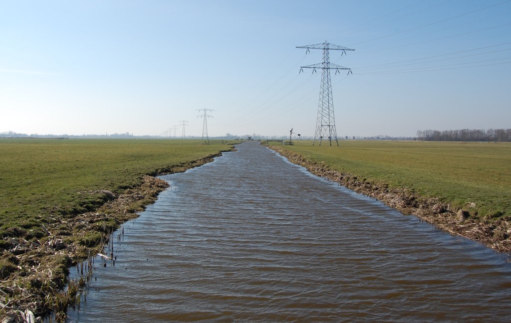
The land subsidence is caused by humans. Large parts of North Holland, including West Friesland, consist of wet peat soil. In order to be able to farm on it, ditches were dug. This lowered the groundwater level, but the top of the peat came into contact with oxygen and died off by one centimeter every year. As a result, the land slowly but surely sank back into the water. Farmers had no choice but to lower the groundwater level again. This created a vicious circle.
There is still a beautiful strip of foreshore at Schellinkhout. However, it is nothing compared to what used to be there. Around 1500, this foreshore was so extensive that people even lived there.
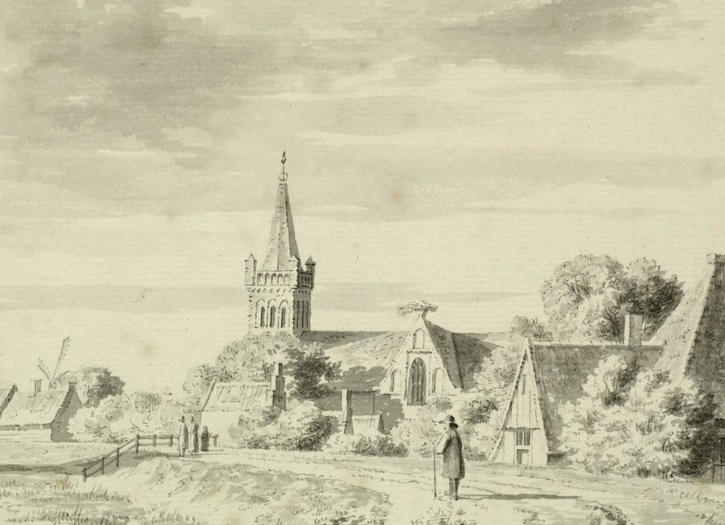
The big advantage of foreland was that the dike did not have to be so high. That saved the farmers a lot of work. Until 1500-1600, they were responsible for the condition of the dike. The more land one owned, the larger the section one had to maintain. This drawing shows the village of Schellinkhout. In the foreground, we see the foreland and the Zuiderdijk. It was much lower than it is today.

The Zuiderdijk is no longer located by the sea. With the Afsluitdijk (photo), completed in 1932, the Zuiderzee was divided into the Wadden Sea and the IJsselmeer. It was a historic moment in the battle against the water. The Afsluitdijk kept the sea out and the IJsselmeer became a freshwater basin with a manageable water level. Since 1976, we have referred to the IJsselmeer and the Markermeer. They are separated by the Houtribdijk, the dam and motorway between Enkhuizen and Lelystad. The Zuiderdijk is located on the Markermeer.
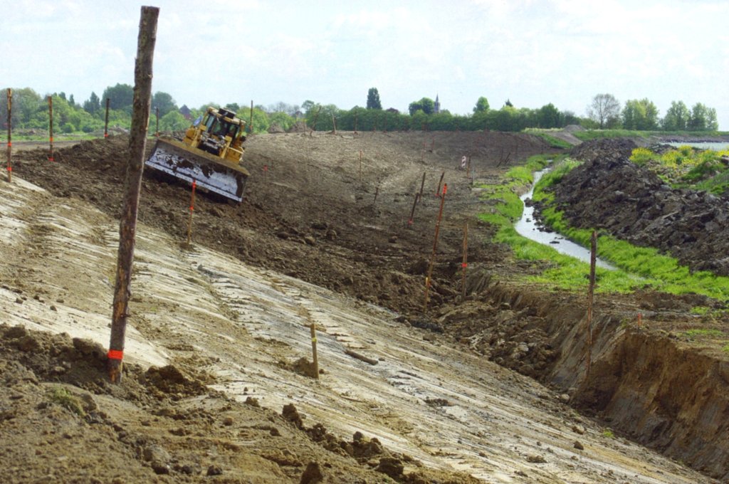
In 2000-2001, the strength of the Zuiderdijk was tested. The question was how the dike would hold up during prolonged, extremely high water levels in the Markermeer. Large sections proved to be insufficiently high or strong. Between 2007 and 2013, the water board carried out large-scale reinforcement work.
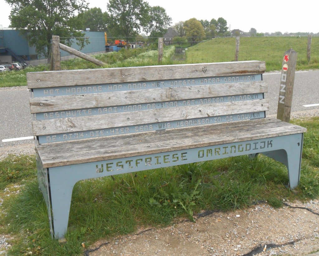
On the Zuiderdijk, there are a number of Westfriese-Omringdijk benches, created by artist René Knip. Each bench has a unique inscription.