Dike up to and including Krabbendam
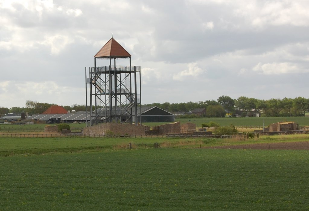
Around 1300, chronicler Melis Stoke referred to Nuwendoorn Castle as 'the finest in all the land'. Count Floris V built this fortified castle in the years after 1280 to keep the West Frisians under control. The remains of the castle were rediscovered in 1948. In 2009-2011, the province had the foundations rebuilt. The watchtower stands on the site of the old keep and has the same dimensions as this main tower, 11 by 11 metre 25 metre .
Nuwendoorn was part of a series of fortified castles along the Omringdijk. During a major uprising after the death of Floris V in 1296, the West Frisians destroyed the castle. However, it was rebuilt. Around 1370, Nuwendoorn had served its purpose and subsequently disappeared from history.
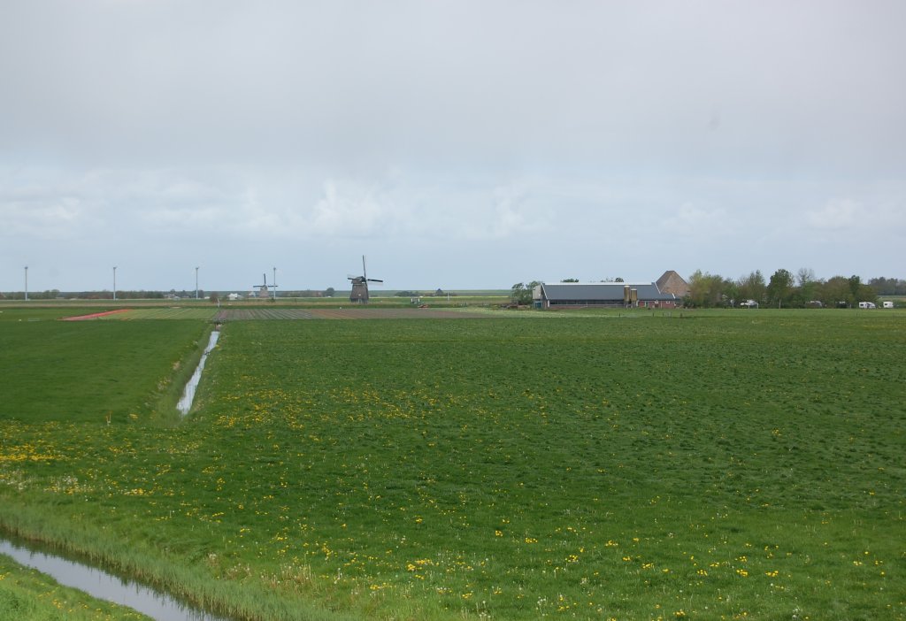
On the other side of the dike, we see Zijpe. This neatly divided polder was originally a no man's land of mud flats and salt marshes.
Until the end of the sixteenth century, Zijpe was connected to the Zuiderzee. During northwesterly storms, the Omringdijk was hit hard here. The winding course of the dike is a silent witness to the battle of attrition.

The dike has been breached several times by storm surges in the Zijpe. The water that rushed in during a breach washed out holes that were sometimes too deep to fill. In such cases, there was no other option but to build a new section of dike around the hole. Between Krabbendam and Kolhorn, there are several winding sections where such deep pools can be found. These are all places where the dike broke through long ago.
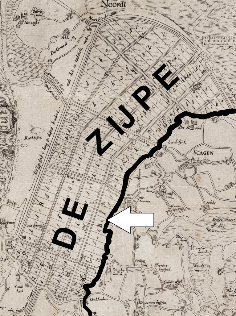
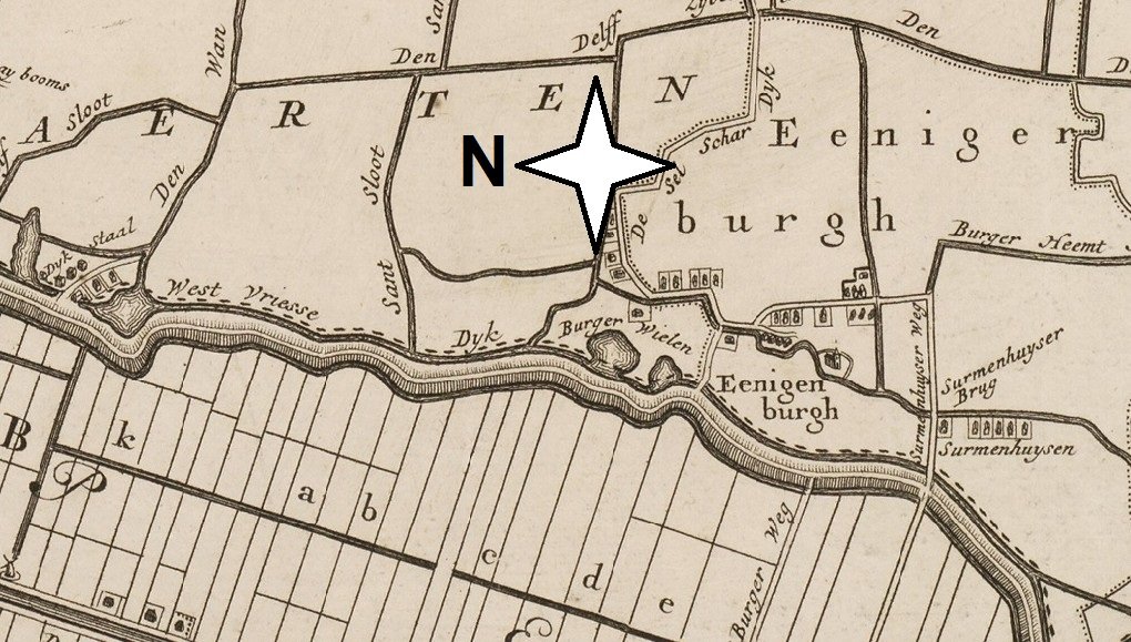
In 1551, painter Jan van Scorel obtained permission to reclaim the Zijpe. However, in November 1554, storms breached the newly constructed dikes. A second attempt was made in 1556/57. Unfortunately, Zijpe was flooded again during the All Saints' Day flood of 1570. The outbreak of the Eighty Years' War (1568-1648) prevented any repair of the damage. It was not until 1597 that Zijpe was finally successfully reclaimed. This map shows the polder around 1570. The arrow points to the Omringdijk.
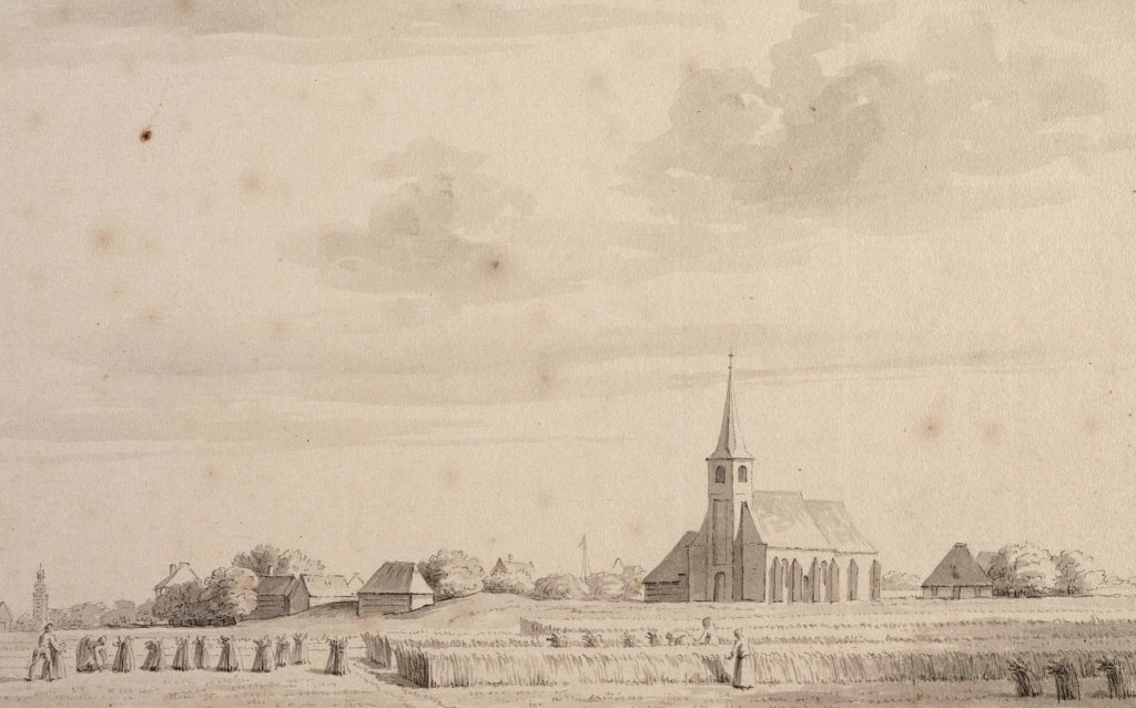
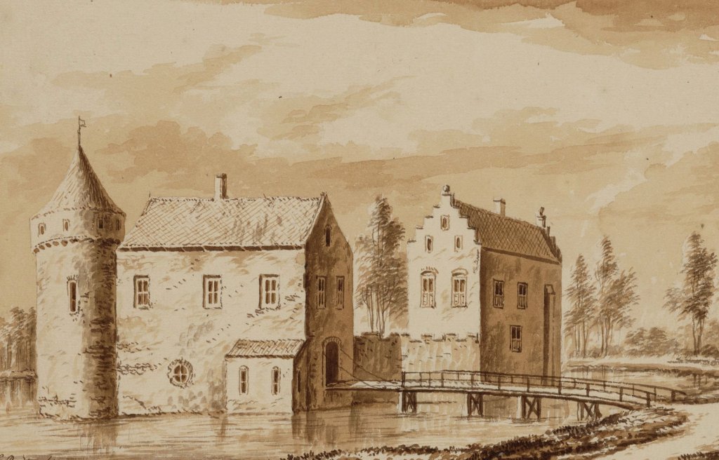
The village of Eenigenburg is built on a series of mounds. It was first mentioned in 1289. The current church dates from 1792. This print shows the village from the southwest in 1729. Large-scale land consolidation has greatly changed the landscape around the village.
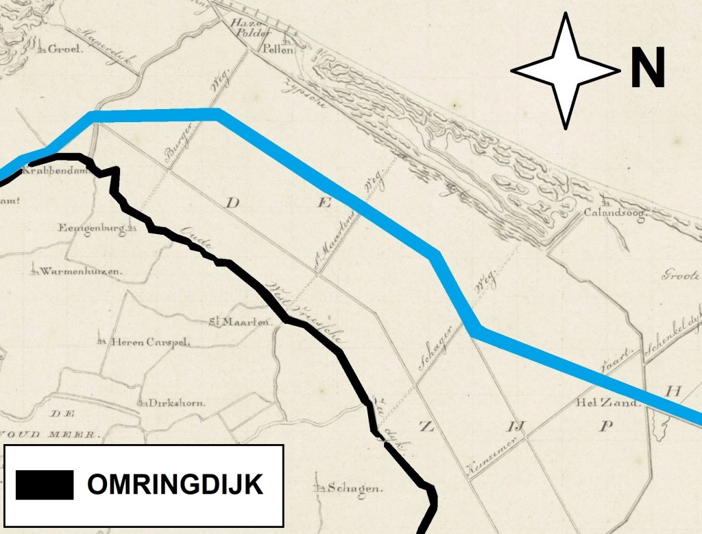
Between 1820 and 1824, the Groot Noordhollandsch Kanaal (Great North Holland Canal) was dug right through Zijpe (shown in blue on the map). It runs from Amsterdam to Den Helder. The canal was necessary because the Zuiderzee was not deep enough for the increasingly larger seagoing vessels. The port of Amsterdam was in danger of becoming inaccessible. The importance of the Noordhollandsch Kanaal declined sharply after 1876. That year, the North Sea Canal was opened closer to Amsterdam.