Schoorldam and the Rekere
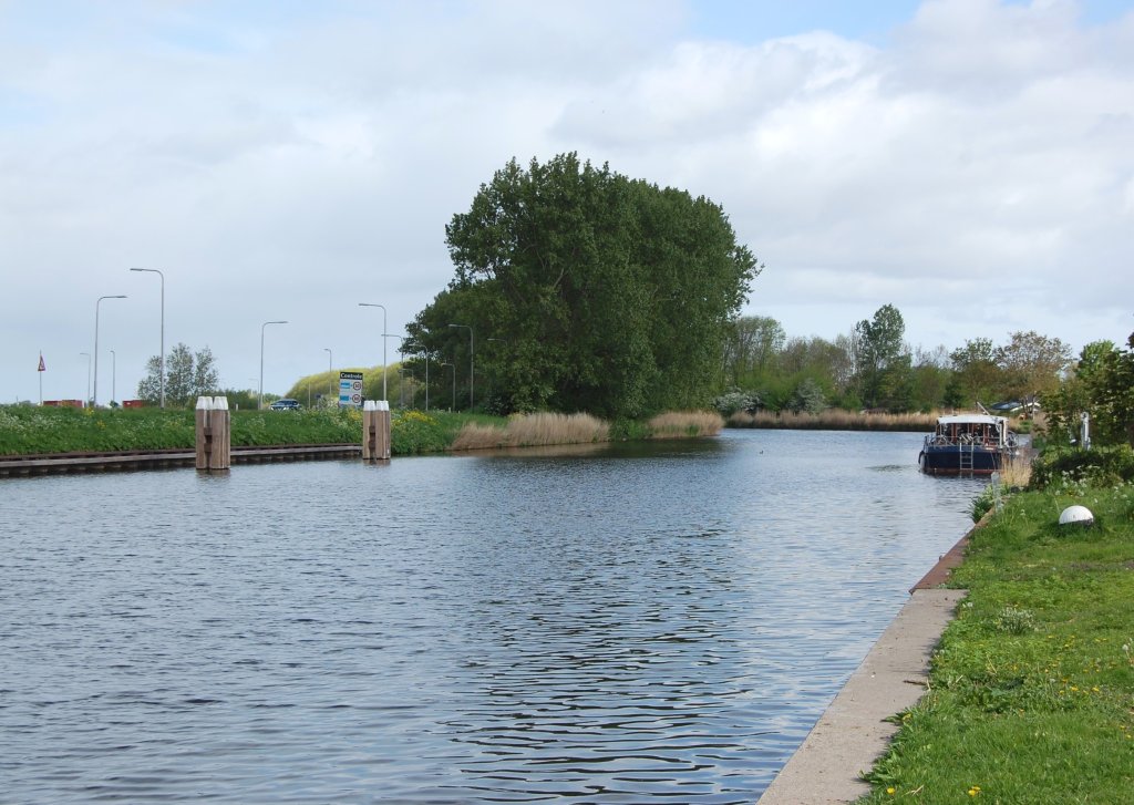
We are standing on the North Holland Canal. In the Middle Ages, a river called the Rekere flowed here. It ran from the Schermeer in the south, past Alkmaar, to the Zijpe. The Zijpe was an elongated stream between the dunes and West Friesland, which was openly connected to the Zuiderzee.
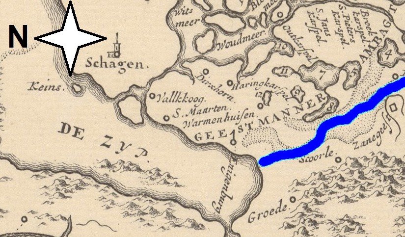
When the Zijpe flooded during storm surges, the flow direction of the Rekere (blue) reversed. Seawater then penetrated inland from the Zijpe via the river. In December 1196, the entire area around Alkmaar was flooded.
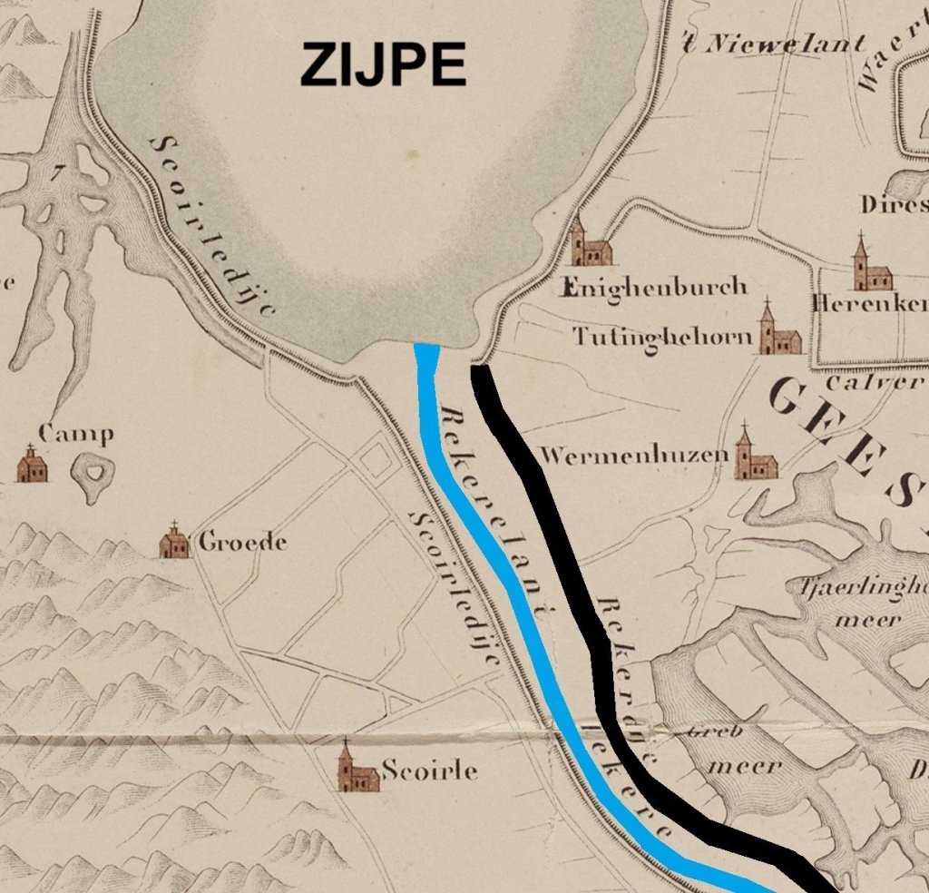
By 1200, the West Frisians had already built a dike (black line on the map) along the river (blue line). On old maps, it is called the Rekerdijk. In the thirteenth century, it was incorporated into the Omringdijk. However, the Rekerdijk offered no guarantee. Like all medieval dikes, it was rather low and not very strong.
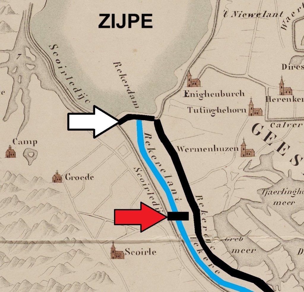
Additional defence against the water from the Zijpe was defence , so around 1200, a dam was built in the Rekere at this location with an opening for ship traffic (red arrow on the map). The dam, which also served as a crossing point, was later named the Schoorldam after the dune village of Schoorl on the other side. In 1264, another dam was built, exactly where the Rekere flowed into the Zijpe (white arrow).
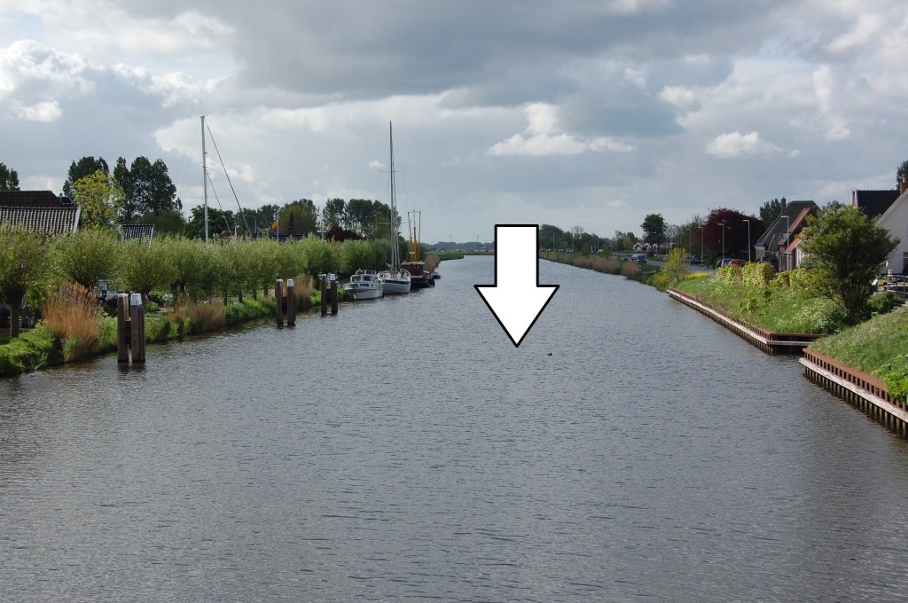
The Schoorldam has disappeared, but we know where it stood: metre fifty metre south of the large bridge. In 1597, the reclamation of the Zijpe was complete. The west of West Friesland no longer had anything to fear from the sea. The Rekere had already been dug into a canal in 1530, the Hondsbossche Vaart. It ran from Alkmaar to Petten.
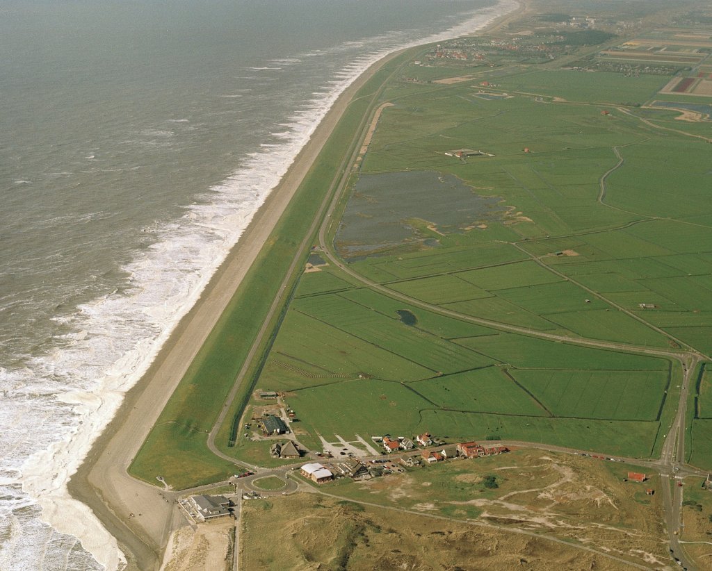
The Hondsbossche Vaart was dug to reinforce the Hondsbossche Zeewering, the sea dike near Petten (photo). The responsible water board needed a straight, wide, and deep waterway to transport building materials. The Rekere did not meet these requirements.
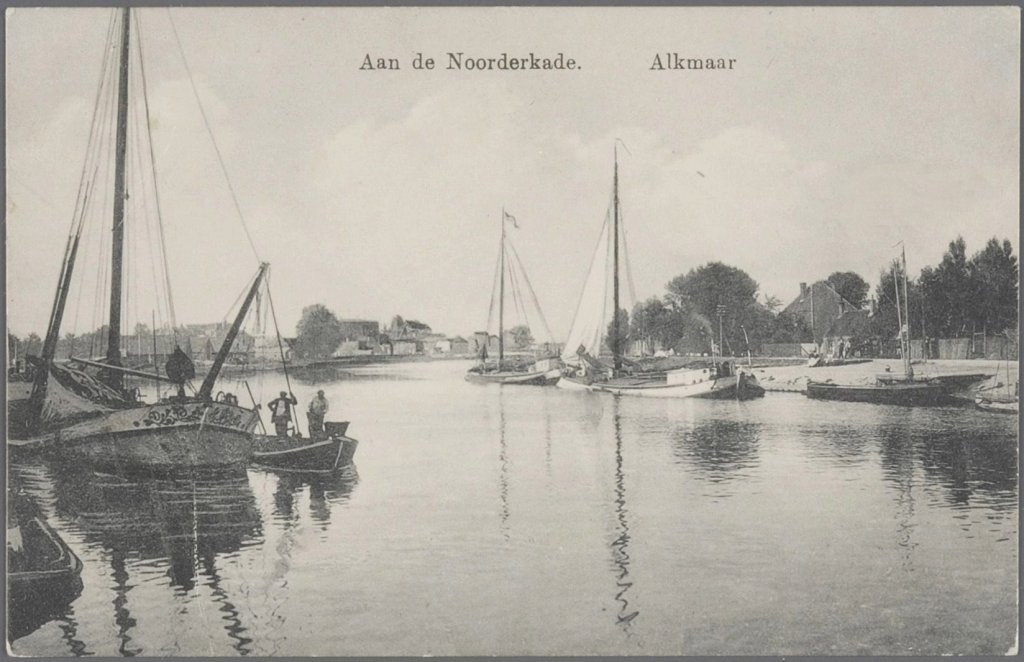
Between 1820 and 1824, the Hondsbossche Vaart was incorporated into the Noordhollandsch Kanaal. This canal runs from Den Helder to Amsterdam and was dug on the orders of King William I (1815-1840) to accommodate heavy shipping traffic. The Zuiderzee was not deep enough for this purpose. The canal is no longer a major waterway, but it is still important for draining excess polder water.