Sandy coast
The entire west coast of our management area consists of dune landscape. From Velsen to Fort Kijkduin in Den Helder, there is a narrower or wider dune area that protects the hinterland from the North Sea. The west of Texel is also protected from the North Sea by dunes, and in the southeast, dunes keep the Wadden Sea out. The dunes also form a (partially protected) nature reserve, managed by nature conservationists.
Beach recreation
The beach, between the high-water line and the dunes, varies in width along the coast. In summer, temporary beach huts and seasonal pavilions are set up for summer recreation. Nowadays, there are also more and more year-round pavilions, large establishments that welcome guests in all weather conditions. Water sports enthusiasts can also be found on the coast all year round these days.

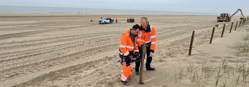
Water-retaining function
The dunes form a protective barrier against flooding. Usually, this protection is not necessary, but during storms—often in combination with spring tides—they prevent flooding of the hinterland. In some places, the dunes are high, wide, and deep, providing long-term protection. In other places, dune growth is desirable, especially in view of sea level rise. Or other interventions are necessary.
Mix of uses
We take into account all functions and users of the beach and dunes, beach pavilion owners and beachgoers, residents and administrators, and the function of the nature reserve, recreational area, and, above all, flood defense when managing the coast. We look ahead, ensuring that sea level rise does not threaten the protection of the hinterland. That is why not everything is always possible everywhere. We issue permits and enforce regulations to ensure a safe hinterland.


