Better insight into future water safety
How can we keep North Holland safe as sea levels rise? We are pondering that question and improving the answer on the coast. Because we are becoming increasingly better at calculating how much sand is needed in the dunes to protect the hinterland from flooding. This allows us to 'see' where weak spots will arise in the future and anticipate them in good time.
Future water safety can now be calculated for metre one, two, and even three metre . This also reveals where the weak spots are located. Where are the dunes too narrow? Where are the weak spots in the dunes that could eventually allow the sea to reach the hinterland? These calculations can be repeated over and over again, with the outcome depending on the growth of the dune massif. The future weak spots have now been mapped out and will be addressed in the coming years. For example, beach access points will be raised and low spots in the dunes will be addressed.
Less movement of beach structures
These new insights and analyses are good news for some of the entrepreneurs along the beach. Until recently, the water board wanted to stimulate dune growth as much as possible along the entire coast. This meant that beach pavilions that prevented sand from blowing away had to be relocated. Now that it is possible to better calculate water safety and the development of the dune massif, it can also be decided that dune growth is less relevant in a specific location. "If the dune is already high and wide enough, it may not necessarily need extra sand," explains Arnold Langeweg, portfolio holder for water safety. "We can now assess whether relocation is necessary for each pavilion." This may still prove necessary in the future, particularly in the case of narrow dune strips in built-up areas. "In that case, we don't have a general argument, but a specific argument as to why water safety needs to be promoted there. I assume that entrepreneurs will understand this."
Resilient coastline
The combination of analyses, calculations, and permit procedures has resulted in a renewed strategy for managing the coast:‘Kijk op een Veerkrachtige Kust’ (A Resilient Coast). Langeveld: “We are now better able to ‘look into the future’ and allow other stakeholders to join us in this process so that we can arrive at solutions together. This creates a more shared sense of responsibility for the water safety of our beautiful coast.”

Interactive viewer
HHNK has developed an interactive viewer so that nature managers, entrepreneurs, and, for example, officials from provincial and coastal municipalities can see for themselves how far the sea will reach if metre one or two metre . Although this is a static image, as if nothing changes, the data is constantly updated. This makes it possible to see whether the dunes are highly dynamic or not. High dynamics mean that there is plenty of room for dune growth: in those areas, the water safety situation will improve significantly.
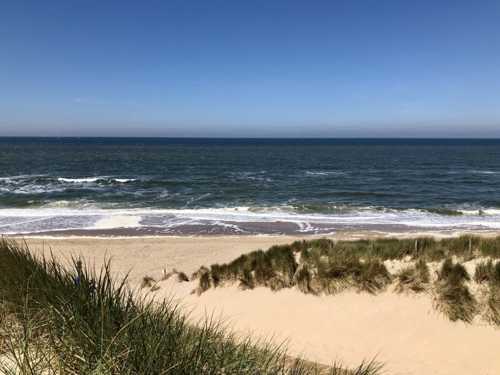
Sea level rises, dunes grow
Because as sea levels gradually rise, the dunes also grow. And that means the hinterland is better protected again. Sand blows from the beach into the dunes, causing the dune massif to grow. This does not happen entirely spontaneously. To prevent the Netherlands from becoming smaller and smaller due to coastal erosion, Rijkswaterstaat has been maintaining the basic coastline since 1990. This is done by means of sand replenishment: large quantities of sand are sprayed just off the coast. The sand drifts across the beach towards the dunes, making them higher and wider, and therefore more massive. And sometimes – during severe storms such as the recent Amy and Benjamin – dunes are washed away and the sand disappears into the sea. Some of that sand will wash ashore again.
Building with nature
Sand replenishment therefore keeps the basic coastline in place and also ensures dune growth. Nature is given a further helping hand by, for example, topping the first row of dunes so that the sand can indeed drift onward and does not remain at the front. Cuts in the dunes ensure even further dispersal of the sand, as do drifting hollows. This is called building with nature, because human intervention allows nature to do its work.
More information can be found on the Management Strategy page, background information on the Sandy Coast page.